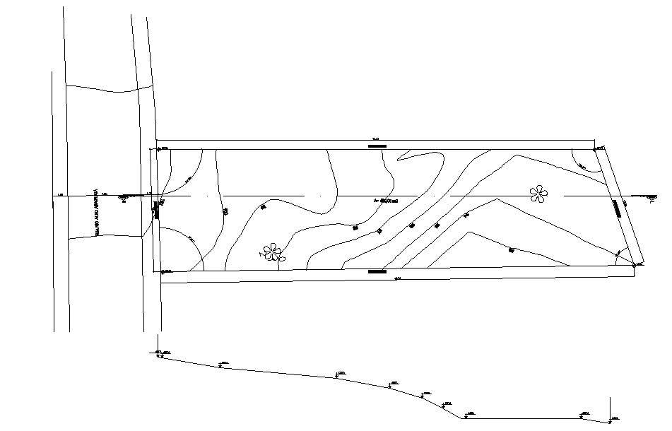
This Architectural Drawing of AutoCAD 2d drawing is Site plan survey details. A Site Plan is a sketch that is prepared from the information that is taken from a Survey. It includes a combination of a Boundary survey and a Topographic survey and is used for the preparation of a site plan or other documents which will depict proposed improvements to a parcel of land. A site survey is the examination of a location or spot in order to obtain data or information. This information includes feasibility reporting and estimation of cost and the time required to perform a certain task. For more details and information download the Drawing file.


