2D Geological Cross Section in DWG File for Geotechnical Analysis
Description
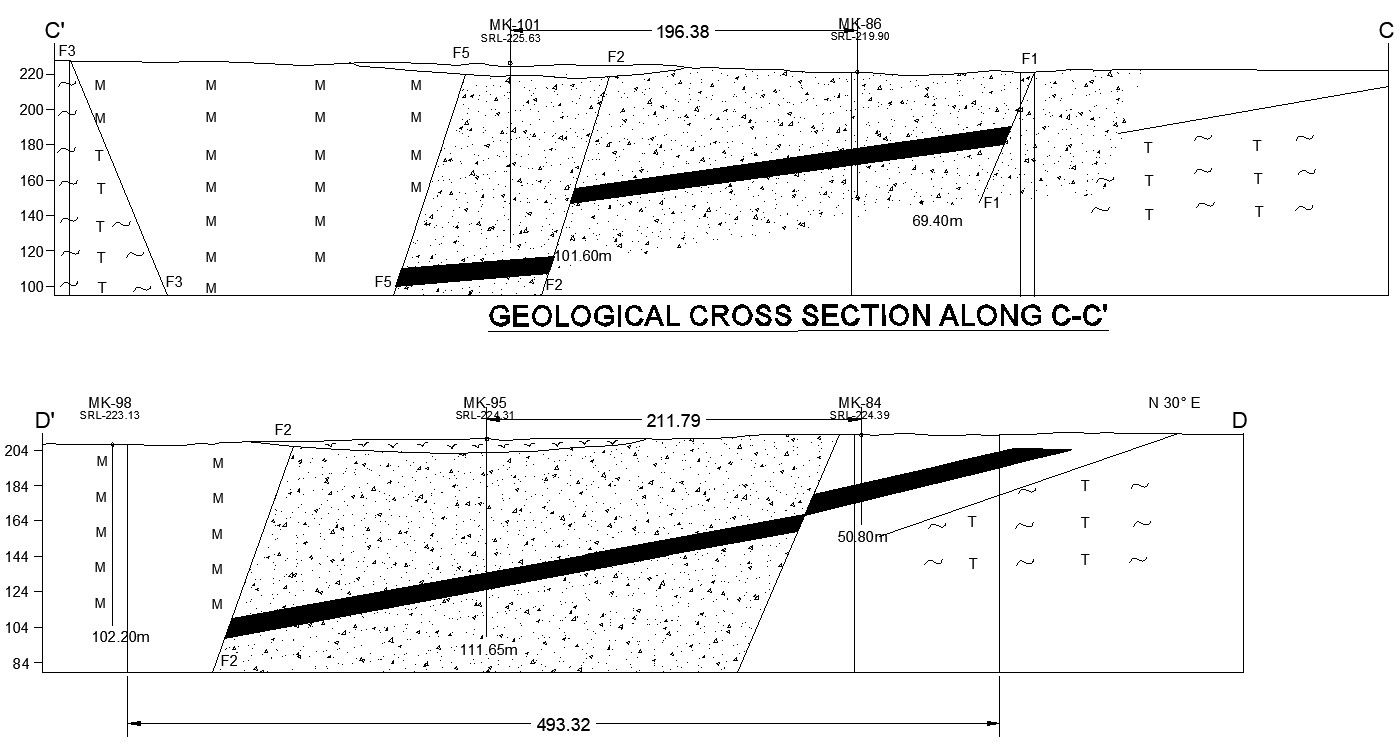
This AutoCAD DWG file offers a detailed 2D geological cross-section, essential for geotechnical analysis and subsurface exploration. The drawing illustrates various soil layers, rock strata, and potential fault lines, providing valuable insights into subsurface conditions. It's an indispensable resource for civil engineers, geologists, and environmental consultants involved in site investigations, foundation design, and soil analysis.
File Type:
DWG
File Size:
1.4 MB
Category::
Structure
Sub Category::
Section Plan CAD Blocks & DWG Drawing Models
type:
Free

Uploaded by:
AS
SETHUPATHI