Autocad drawing file having the plan of Topographical Survey Plan for SECON GIGL MBPL SV-4008 Station.Download the DWG AutoCAD file.
Description
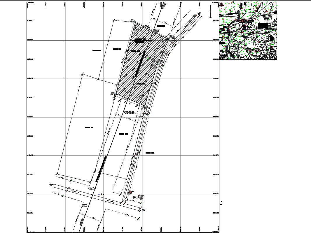
Autocad drawing file having the plan of Topographical Survey Plan for SECON/GIGL/MBPL/SV-4008 Station. A topographic survey locates all surface features of a property, and depicts all natural features and elevations. In essence it is a 3-dimensional map of a 3-dimensional property showing all natural and man-made features and improvements.List of Points to remember and map detais for area details are explained in this drawing. Download the DWG file.Dimensions are clearly given in this diagram.Download the DWG AutoCAD file.Thanks for Downloading AutoCAD DWG and other CAD program files from our website.
File Type:
Autocad
File Size:
258 KB
Category::
Structure
Sub Category::
Section Plan CAD Blocks & DWG Drawing Models
type:
Gold
Uploaded by: