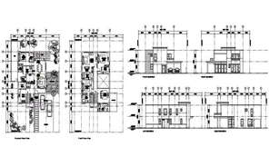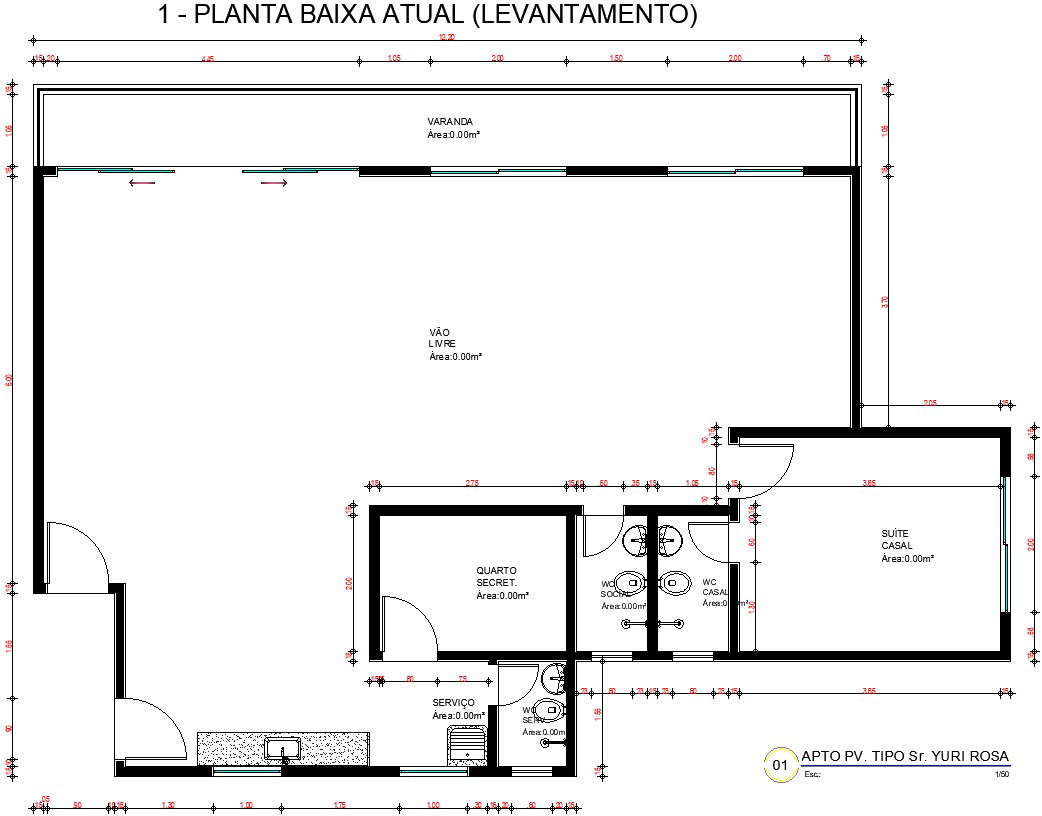
This Architectural Drawing is AutoCAD 2d drawing is Current flor plan (survey). A Survey is required for All Construction Projects. Survey or land survey is the technique, profession, and science of determining the terrestrial or three-dimensional positions of points and the distances and angles between them. A land survey profession is called a land surveyor. Surveys are used to gather or gain knowledge in fields such as social research and demography. Survey research is often used to assess thoughts, opinions and feelings. Surveys can be specific and limited, or they can have more global, widespread goals. For more details and information download the drawing file.